EIT InnoEnergy helps Spottitt’s asset monitoring solutions gain traction in the Nordics
Spottitt’s satellite-based asset monitoring solutions empower utilities to enhance asset management and mitigate risks effectively.
Satellite-based asset monitoring is a growing trend for utility asset management in the Nordic region. Several countries and energy companies are already using or actively exploring technology to mitigate critical infrastructure risks and improve O&M performance.
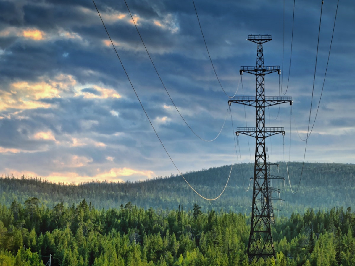
Monitoring vegetation near energy distribution lines
Spottitt is working with a Finnish energy group that provides services for its energy network customers, sells electricity, and offers energy expertise. With over 4 000 km of distribution lines, the company was keen to explore the potential of satellite technology to:
• Prioritise tree-cutting activities accurately and at a lower cost than current inspections
• Understand vegetation growth rates for better vegetation management planning
• Validate the work of contractors cutting trees
Spottitt’s solution gets fresh, high-resolution optical imagery on the client’s area of interest, covering 200 km. The imagery is processed using advanced machine learning algorithms to deliver vegetation analysis to help the DSO prioritise tree-cutting activities and estimate the volume of biomass to be cut.
Using satellite pictures to protect against encroachments
Spottitt is collaborating with an international energy company with operations in 30 countries and 22 000 employees. The company wanted to survey encroachments for two pipeline asset locations in Norway and France, including:
• Buildings within 200m
• Third-party activities (farming, excavating, etc.) within 25m
• Trees higher than 2m within 5m
• Pylon detection
Spottitt used one archive image taken in May 2020 and one freshly tasked image taken in Sept 2022 to address the company’s monitoring needs. Additionally, Spottitt utilised SAR imagery with 10m resolution, taken every five days between Jan 2020 and June 2022, to analyse beach erosion in 2020, 2021, and 2022.
Catching risky trees and pylon locations
Spottitt is also helping a Finnish DSO which offers electricity and district heating services to its customers. With more than 25 000 electricity customers and 500 heat customers, the company was interested in using satellite analytics to:
• Accurately identify the location of pylons visible from above
• Identify trees within 2, 6, or 10m according to the asset type
• Understand vegetation growth rates for better vegetation management planning
Spottitt tasked freshly acquired high-resolution optical imagery for the area of 460km of MV assets in April. Using Spottitt’s unique high-estimation algorithm, analysis of risky trees and the position of visible pylons has been delivered to the client. A second pass will be performed in autumn 2023 to assess vegetation growth rates.


 Share this page


